 vesseltracker.com
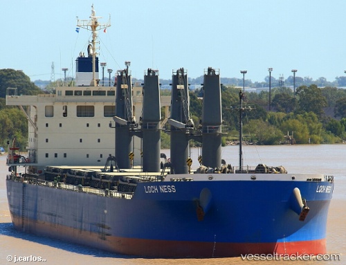
Vessel 'ND MARITSA' IMO: 9788679, MMSI: 538008584
UTC, 32.81864, 126.06344, course: 303, speed: 7.9
UTC, 32.94336, 125.76119, course: 300, speed: 8.7
2026-02-06 15:43:56 UTC, 33.04132, 125.53590, course: 297, speed: 8.9
Live AIS position:
UTC. 42 nm W of Hwasun),
updated 2026-02-06 15:43:56 UTC.
Find the position of the vessel 'ND MARITSA' on the map. The latter are known coordinates and path.
marine traffic ship tracker show on live map
The current position of vessel 'ND MARITSA' is 33.04132 lat / 125.53590 lng. Updated: 2026-02-06 15:43:56 UTCDetails:
Last coordinates of the vessel:
UTC, 32.67459, 126.40846, course: 301, speed: 8.3UTC, 32.81864, 126.06344, course: 303, speed: 7.9
UTC, 32.94336, 125.76119, course: 300, speed: 8.7
2026-02-06 15:43:56 UTC, 33.04132, 125.53590, course: 297, speed: 8.9